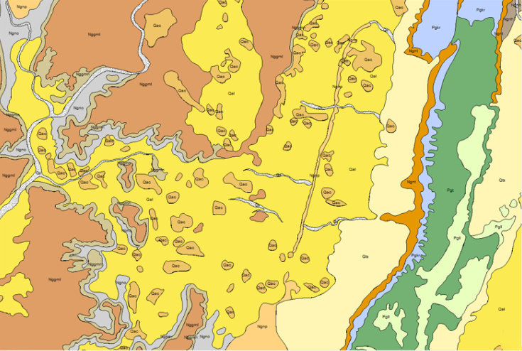
Geographic Information Systems (GIS) are computer-based technologies & methodologies for collecting, managing, manipulating, analyzing, modeling, and presenting spatially referenced data. These systems are used for mapping and to support geographic-based decision making. RS & GIS branch is responsible for.
- Annotation of satellite imagery
- Mineral/lithological supervised and unsupervised classification
- Digitization of geological maps
- Map layouts
- GIS analysis
- Geostatistical analysis
- Disaster managements
- Risk maps analysis

