Geological
Survey of
Pakistan
Welcome
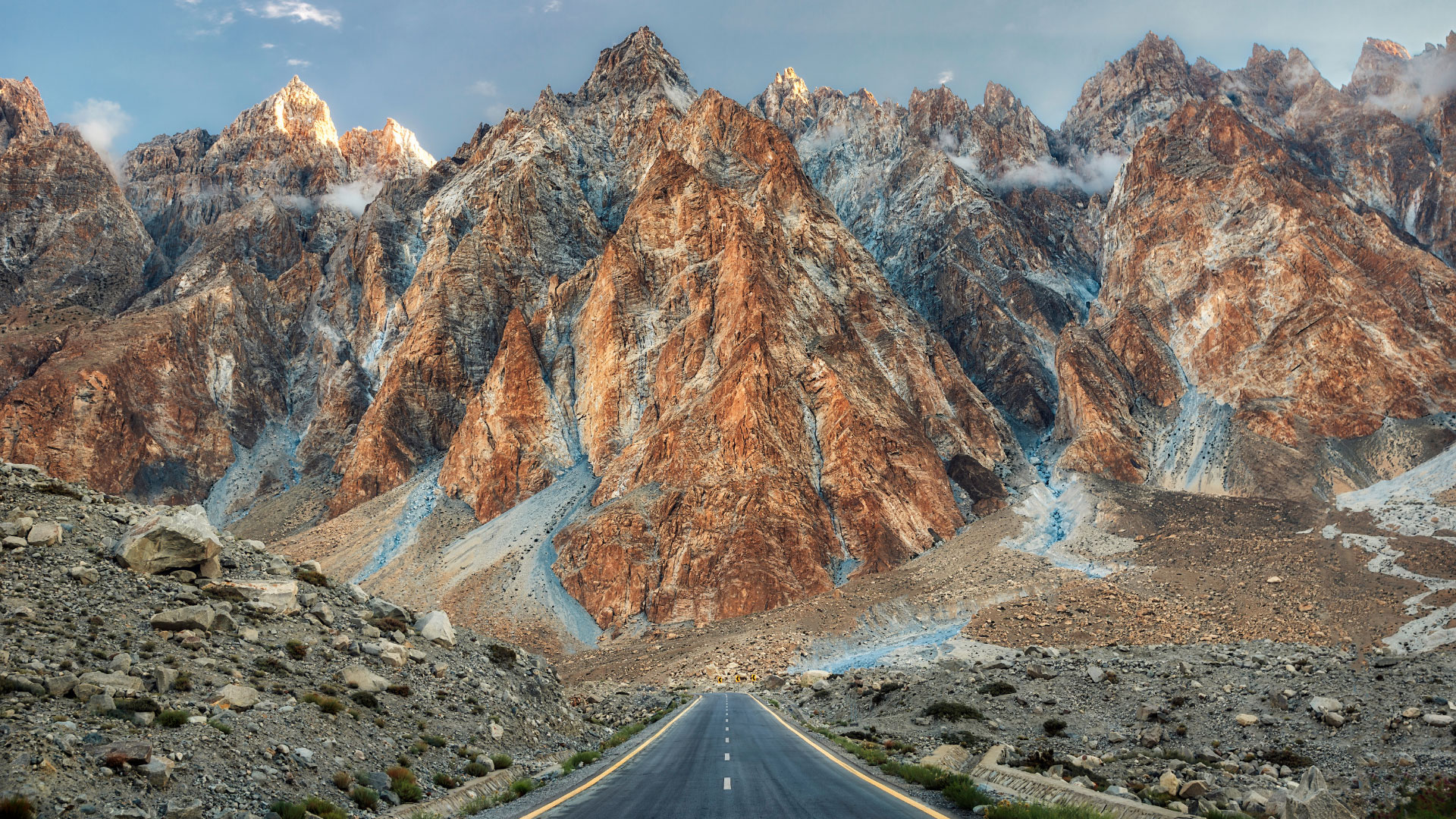
Passu Cones
Passu is a small village located in Gojal valley upper Hunza of the Gilgit Baltistan, Pakistan region of Northern Pakistan.

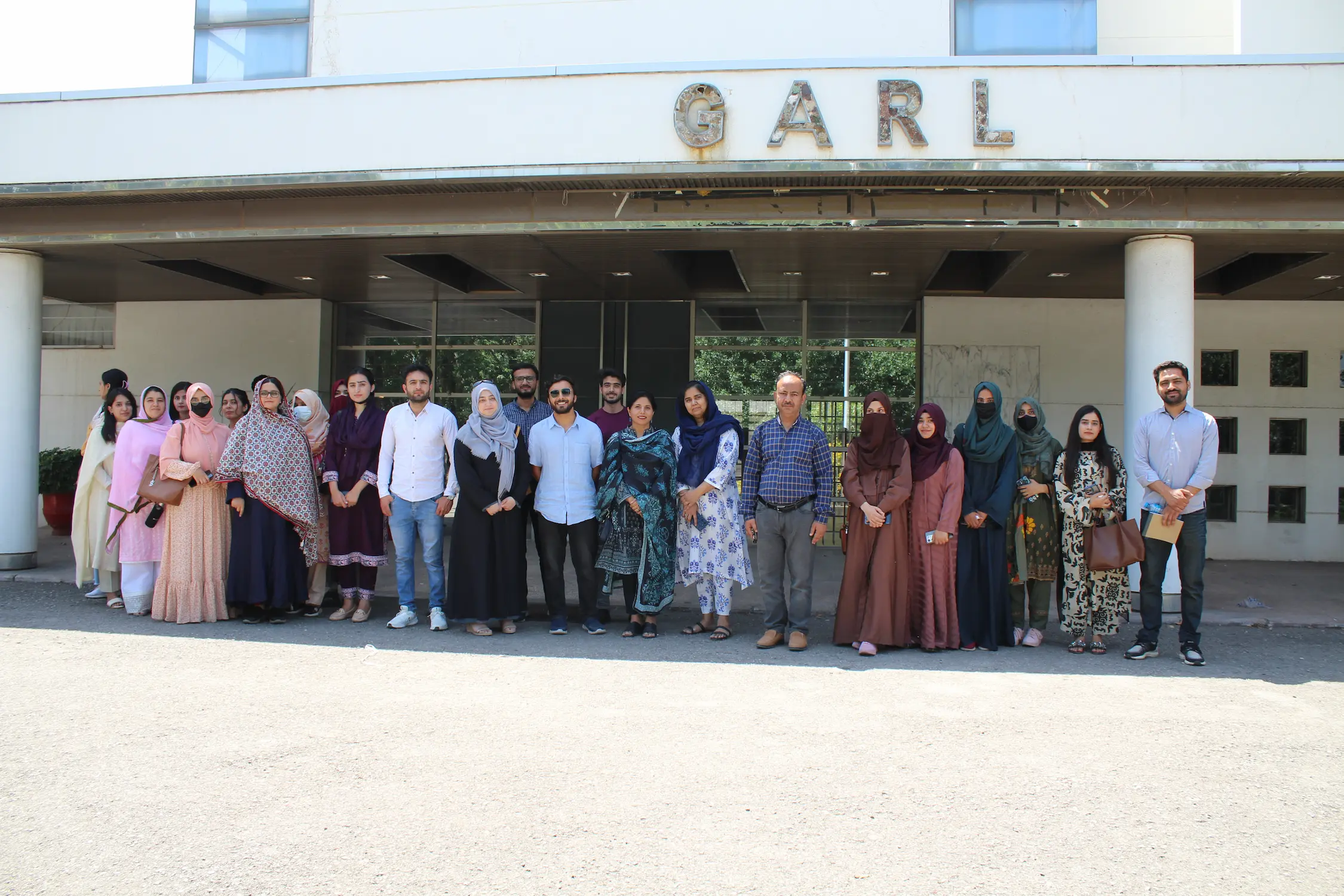
International Collaboration
Experts from The International Institute for Geo-Information Science and Earth Observation (ITC), Netherlands visited GARL and delivered a lecture on the applications of remote sensing
National Collaboration
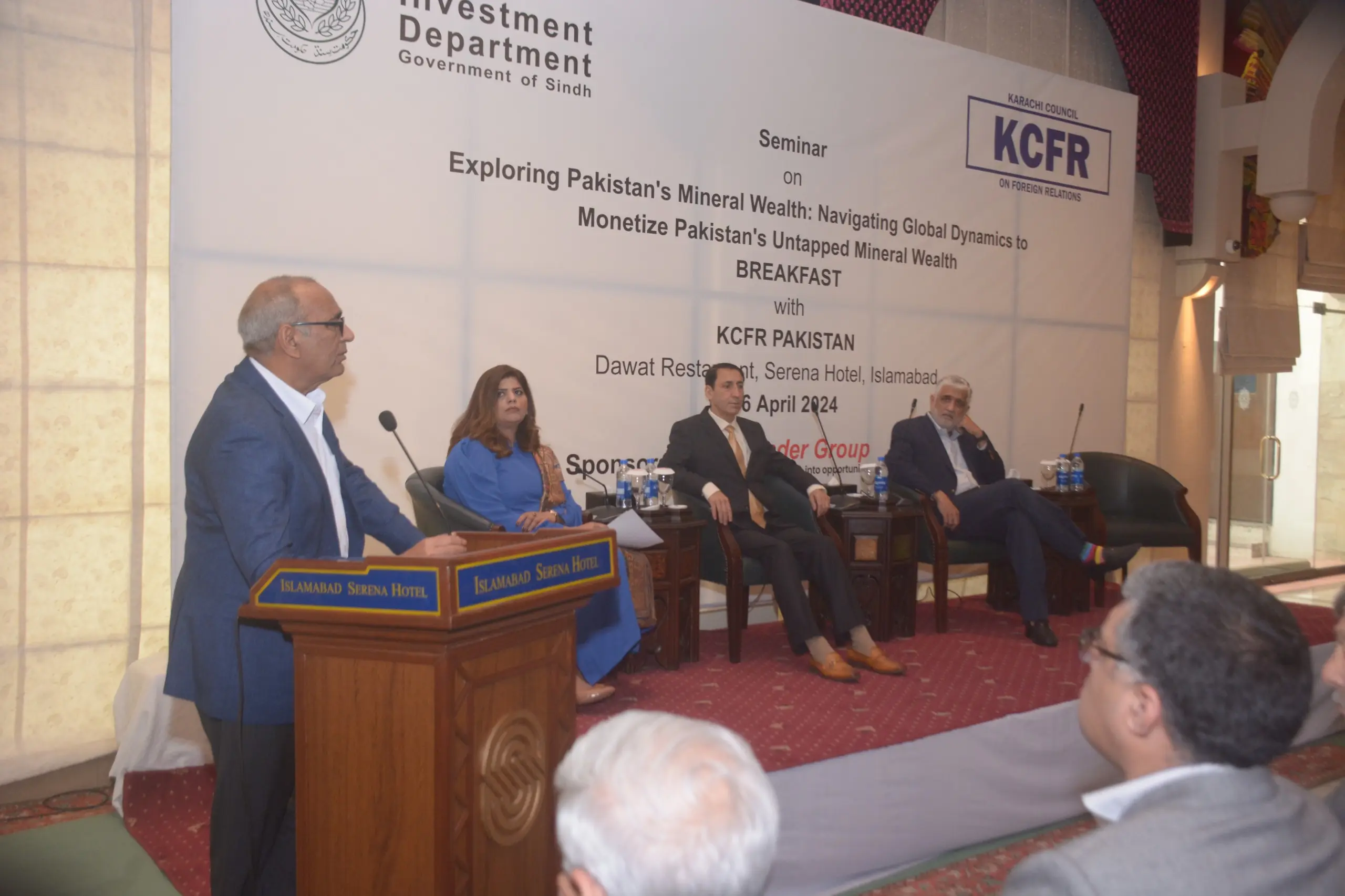
Dr. Sajjad Ahmad, DG GSP, participated in the seminar titled "Exploring Pakistan's Mineral Wealth: Navigating Global Dynamics To Monetize Pakistan's Unmapped Mineral Resources." During the event, DG GSP delivered a keynote speech highlighting the mineral potential of Pakistan. The seminar took place on April 16, 2024, at the Serena Hotel in Islamabad, sponsored by the Investment Department of the Government of Sindh and the Karachi Council for Foreign Relations.
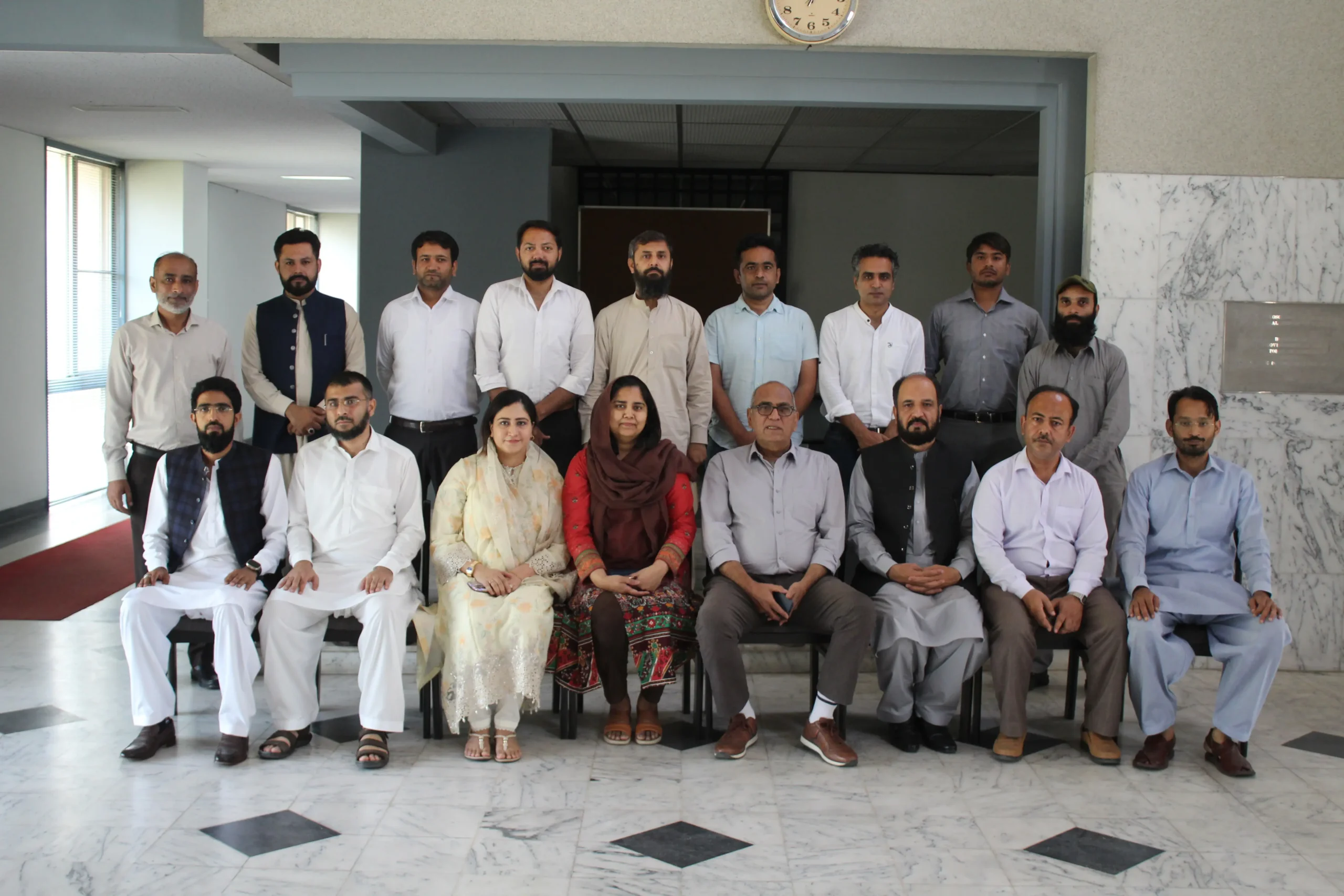
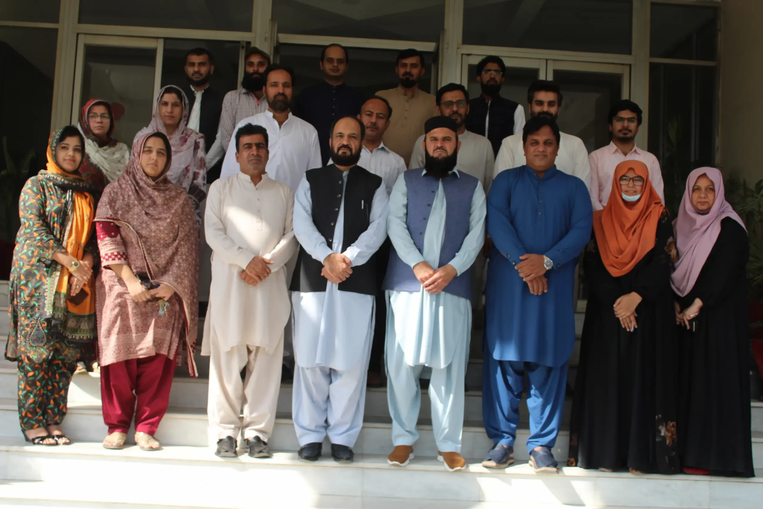
Training Workshop
"Geological Mapping using ArcGIS pro & Geo-Database" from 20 may to 22 May 2024 held at HRDC, GARL, GSP islamabad.
Visit
Prof. Dr. Abida Farooqi, Chairperson of the Department of Environmental Sciences, Faculty of Biological Sciences, Quaid-i-Azam University, Islamabad visited GARL with her students.
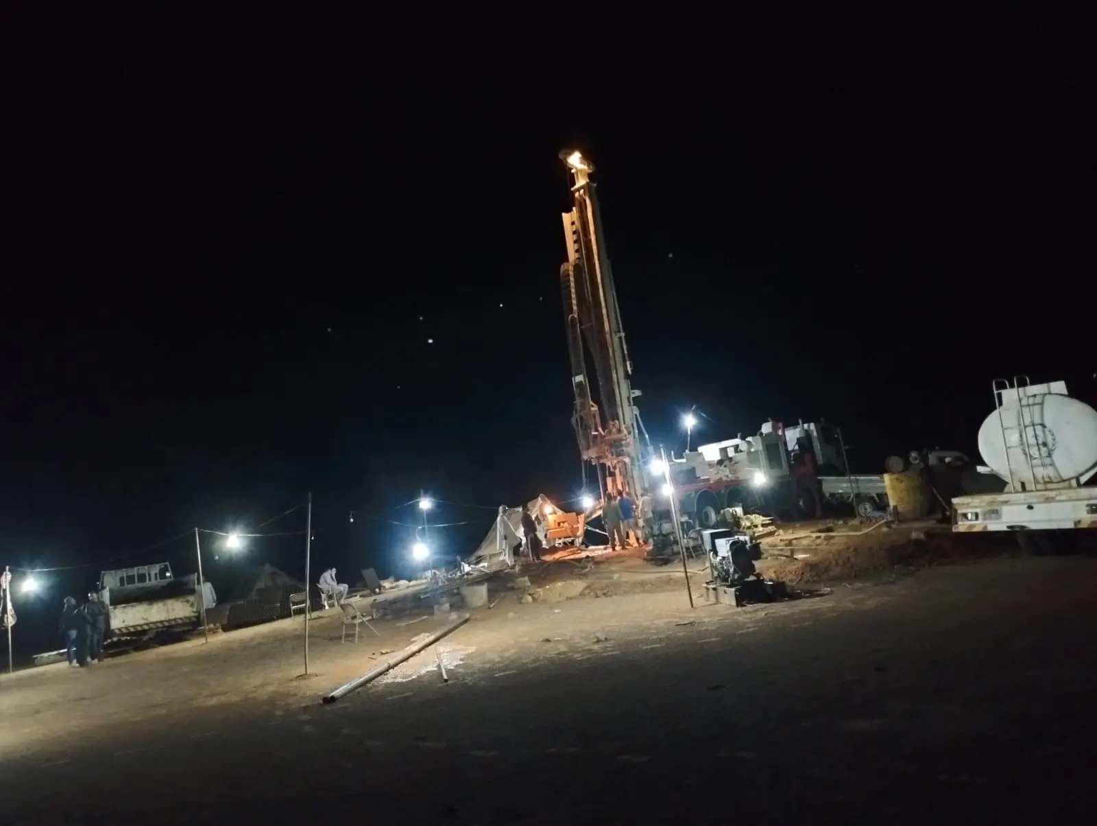
field Work
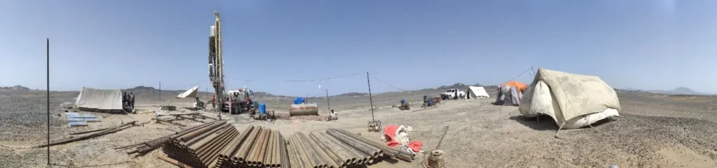
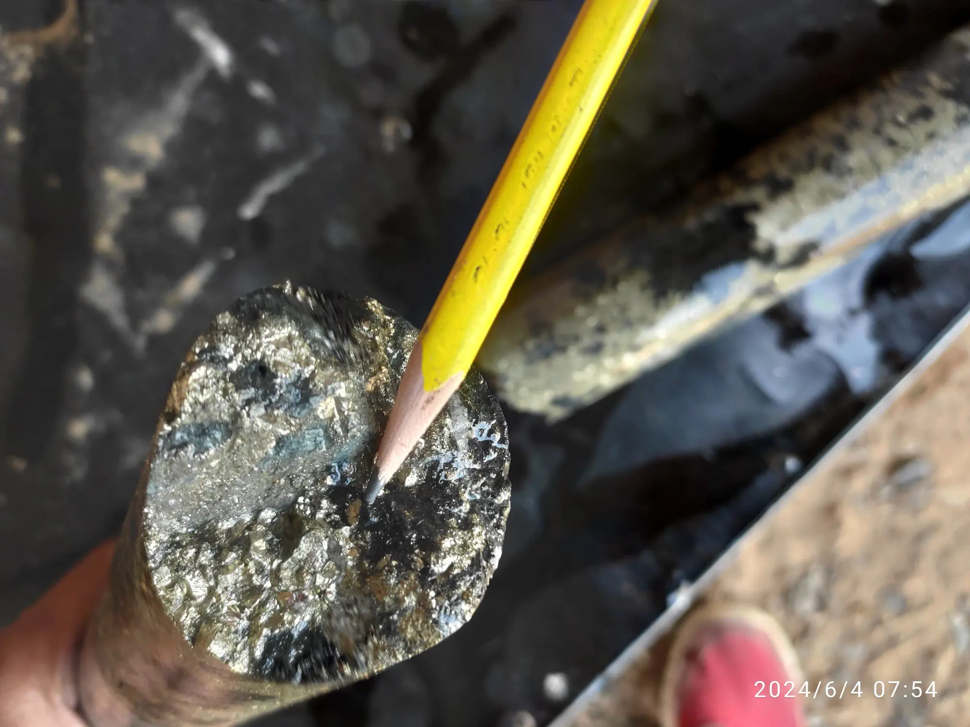
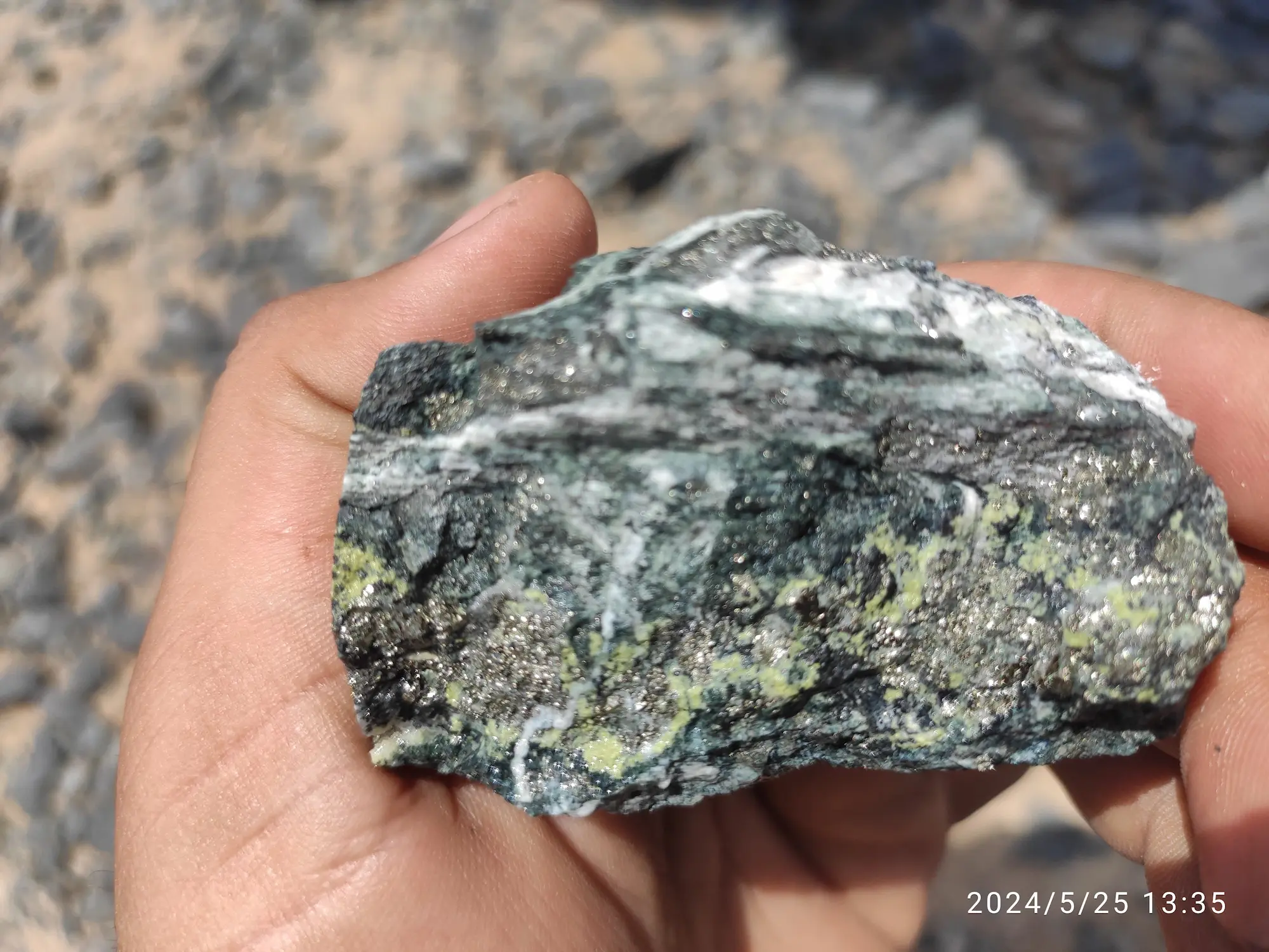
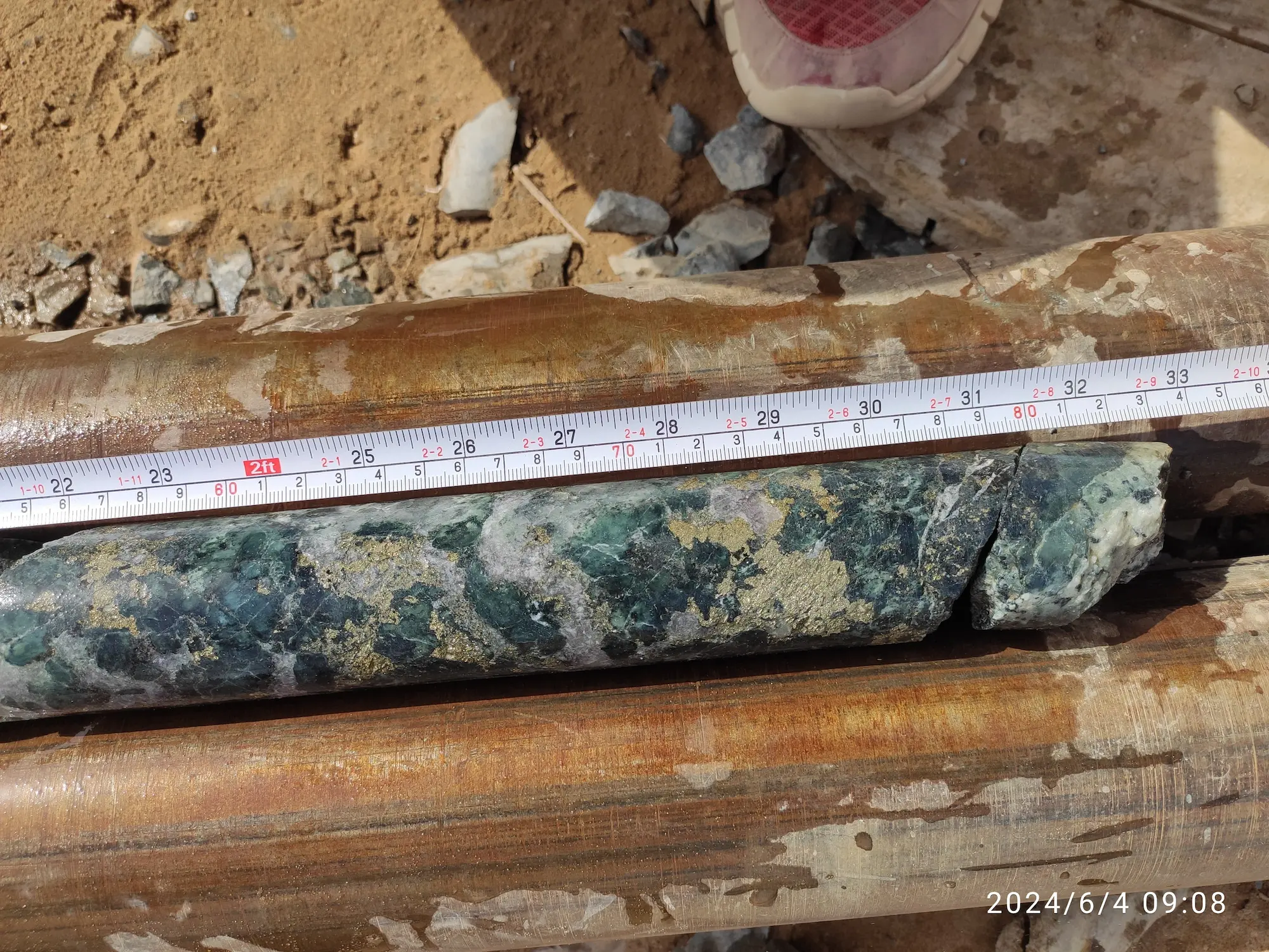
Drilling operation at Nagar Parkar Drilling Site, Tharparkar Sindh.
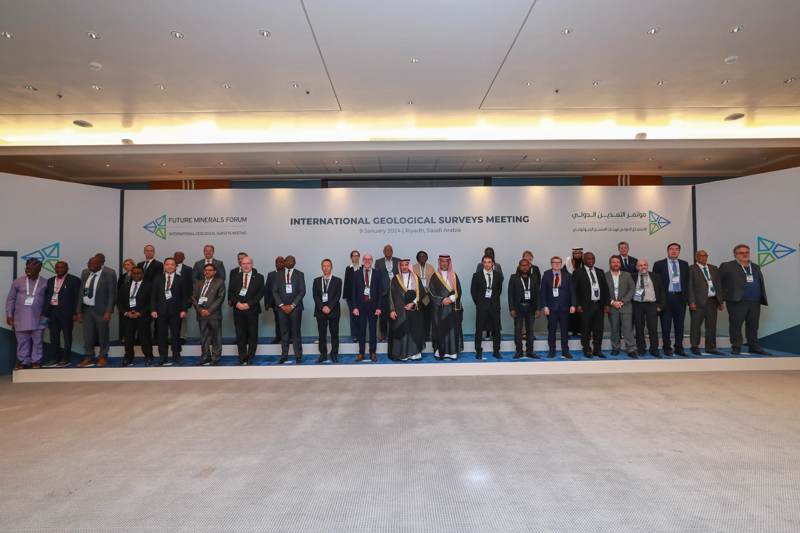
International Collaboration
Dr. Sajjad Ahmad, Director General Geological Survey of Pakistan, participated in the International Geological Surveys Meeting held on January 9, 2024, at the occasion of Future Mineral Forum Riyadh, Saudi Arabia
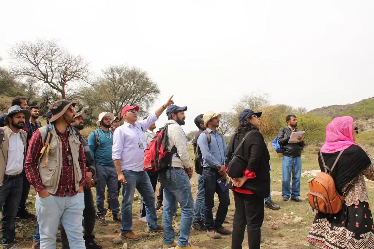
Training Workshop
During the training course titled "Applied Techniques of Geological Mapping", fieldwork took place at the Khair-e-Murat Ranges under the guidance of Dr. Sajjad Ahmad, Director-General, Geological Survey of Pakistan (GSP)
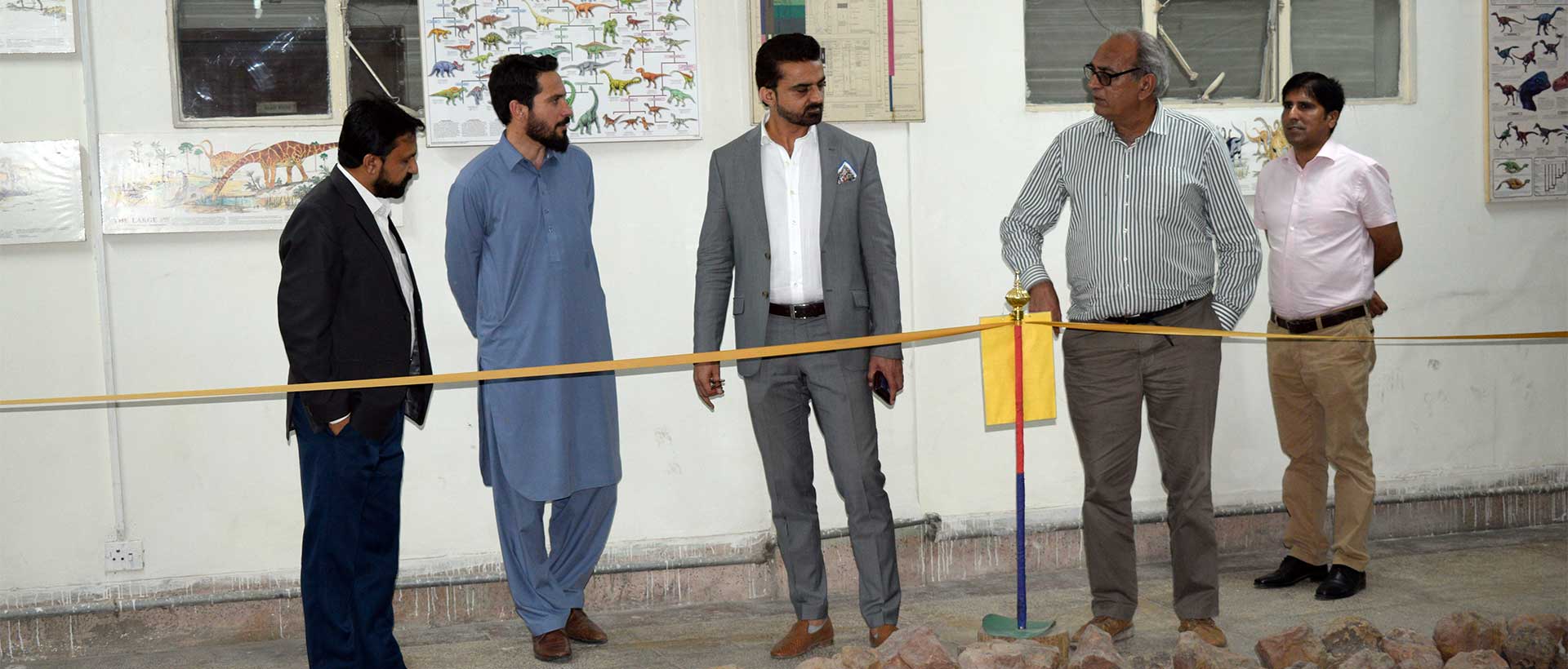
Secretary Visit
Secretary, Ministry of Energy (Petroleum Division) visits Museum of GSP Headquarter office Quetta
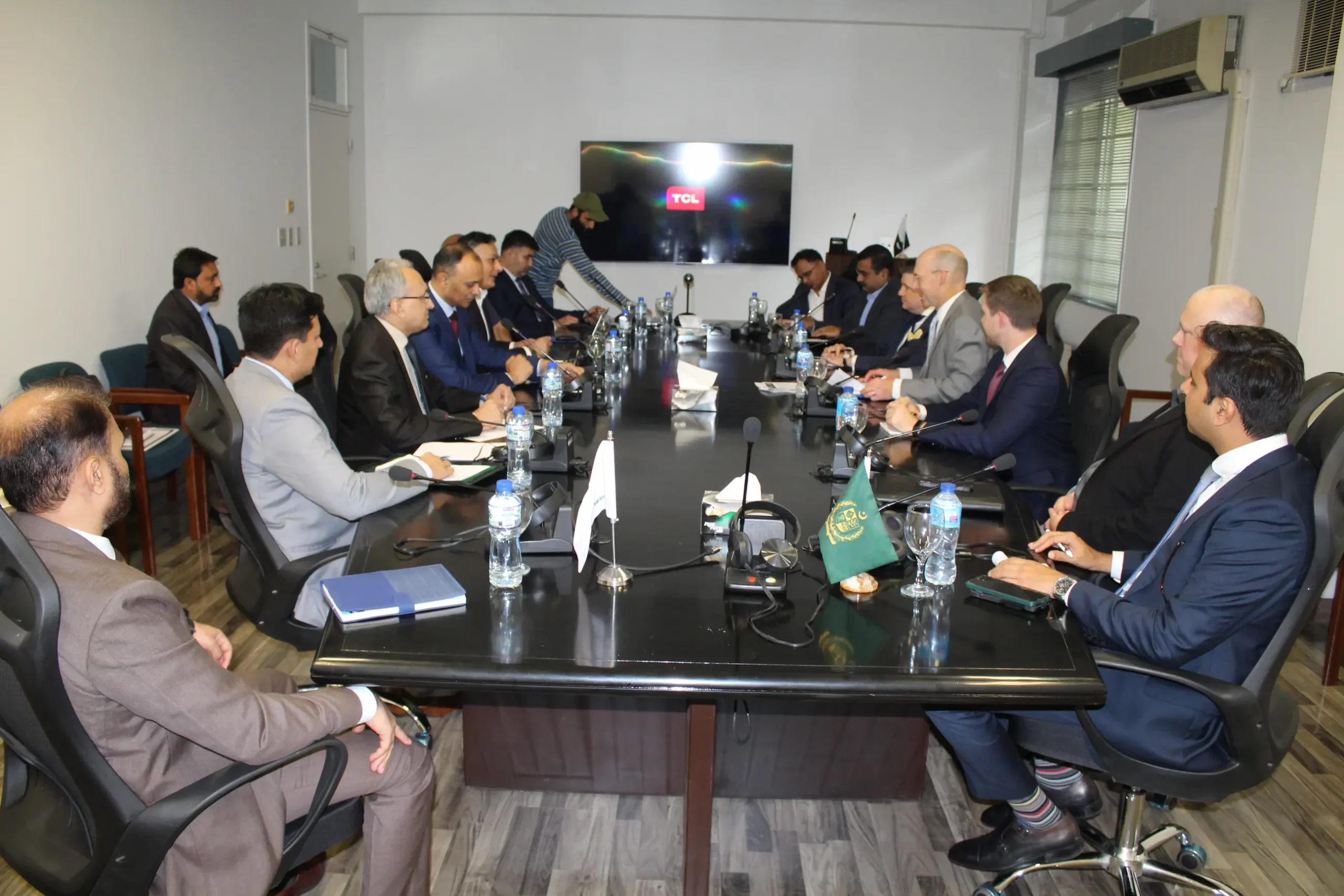
International Collaboration
US State Department, Deputy Assistant Secretary, Bureau of Energy Resources along with other delegations visit to GARL, GSP Islamabad.
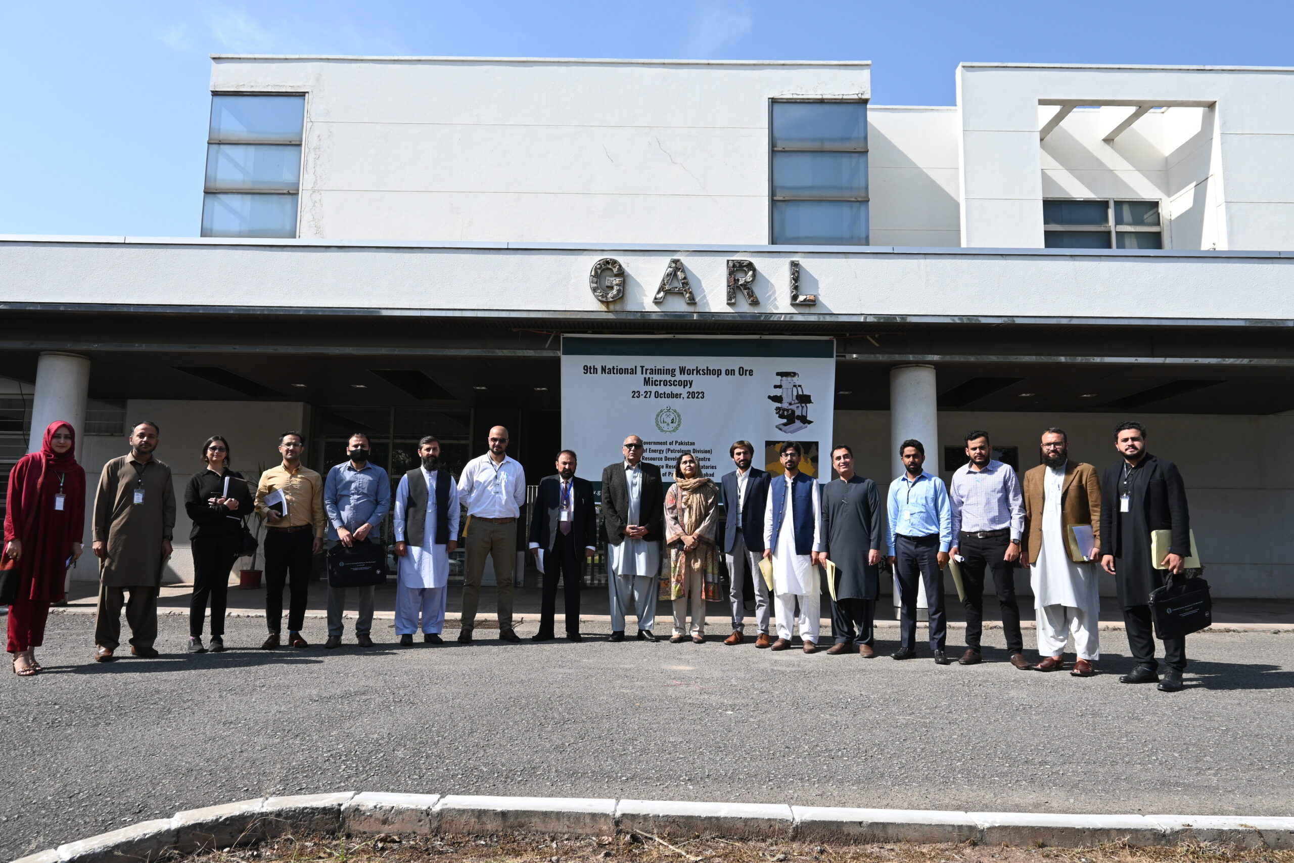
Training Workshop
9th National Trainig Workshop on ore microscopy 23-27 oct 2023 held at HRDC, GARL, GSP Islamabd
Training Workshop
"Geological Mapping Using ArcGIS Pro & Geo-Database" From 29 May To 31 May 2024 Held At GIS Lab, GSP Lahore.
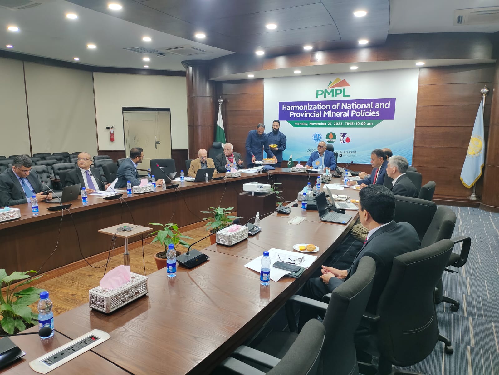
National Collaborations
Dr. Sajjad Ahmad, DG GSP Chaired "Harmonization of National and Provincial Mineral Policies" at the OGDCL Head Office Islamabad.
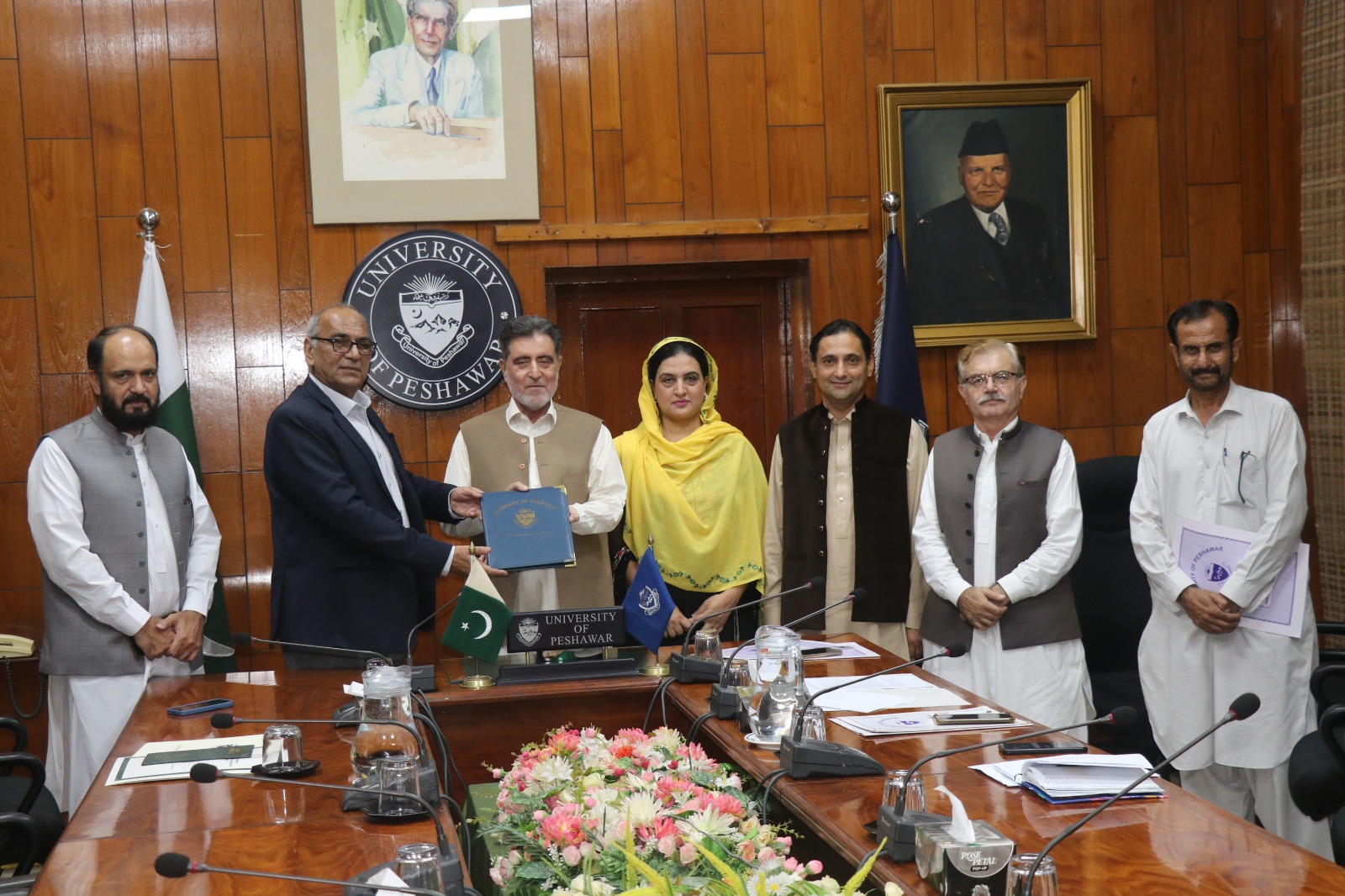
MoU's
MoU between Geoscience Advance Research Laboratories, GSP and University of Peshawar, KPK
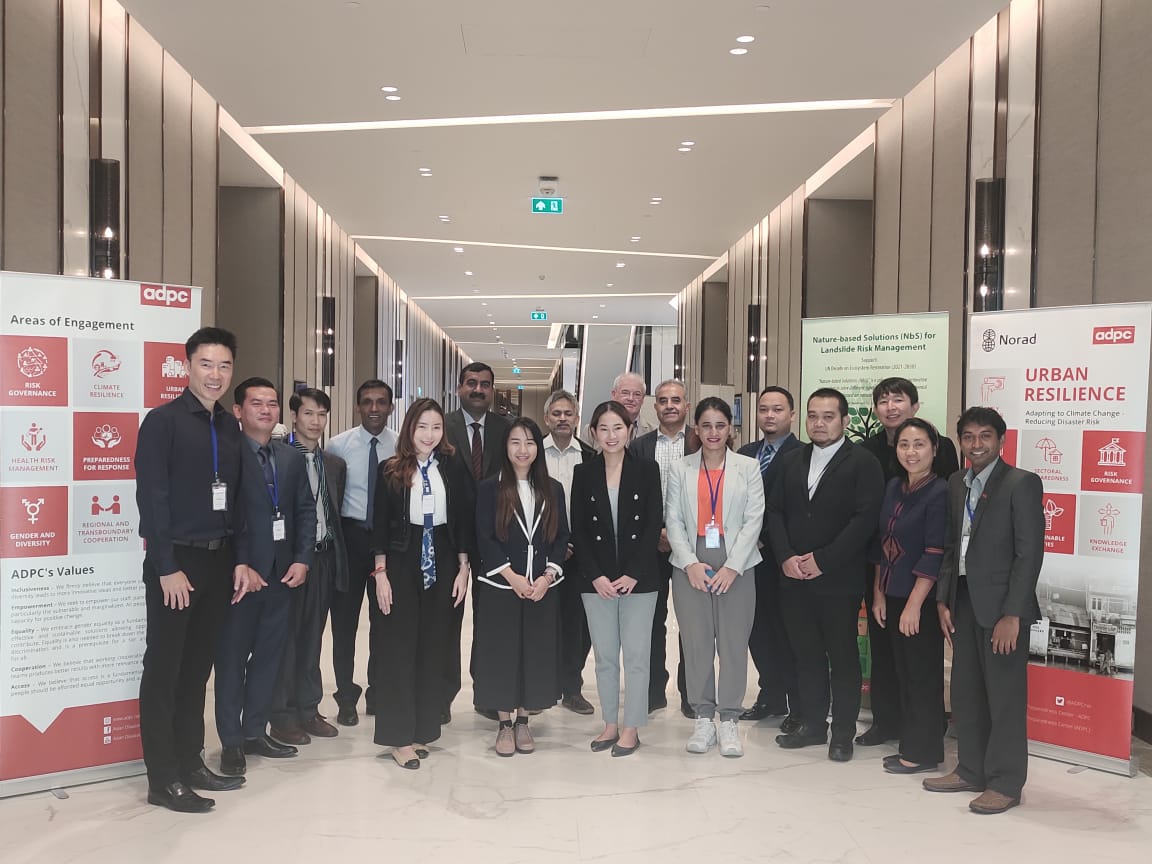
International Collaborations
Mr. Adnan Alam Awan, DDG GSP represented the country in the meeting “Regional Capacity Enhancement for Landslide Impact Mitigation (RECLAIM)” held from 30 Nov to 01 Dec 2023 in Bangkok, Thailand
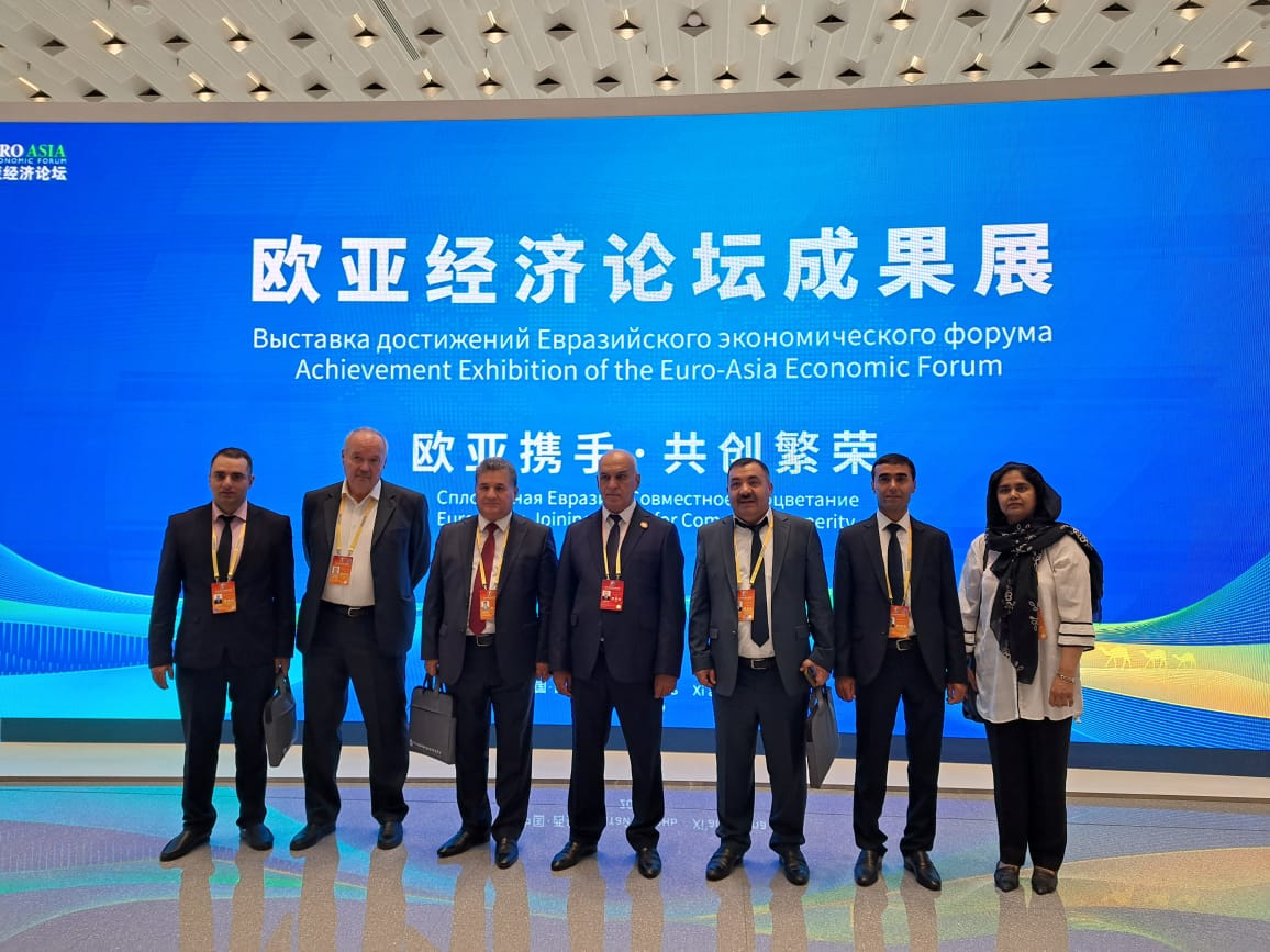
International Collaborations
Ms. Naghma Haider, Director GARL GSP Represented The Country In forum "2023 Eurasian International Geosciences Cooperation and Green Mining Investment Forum" Hosted by SCO China.
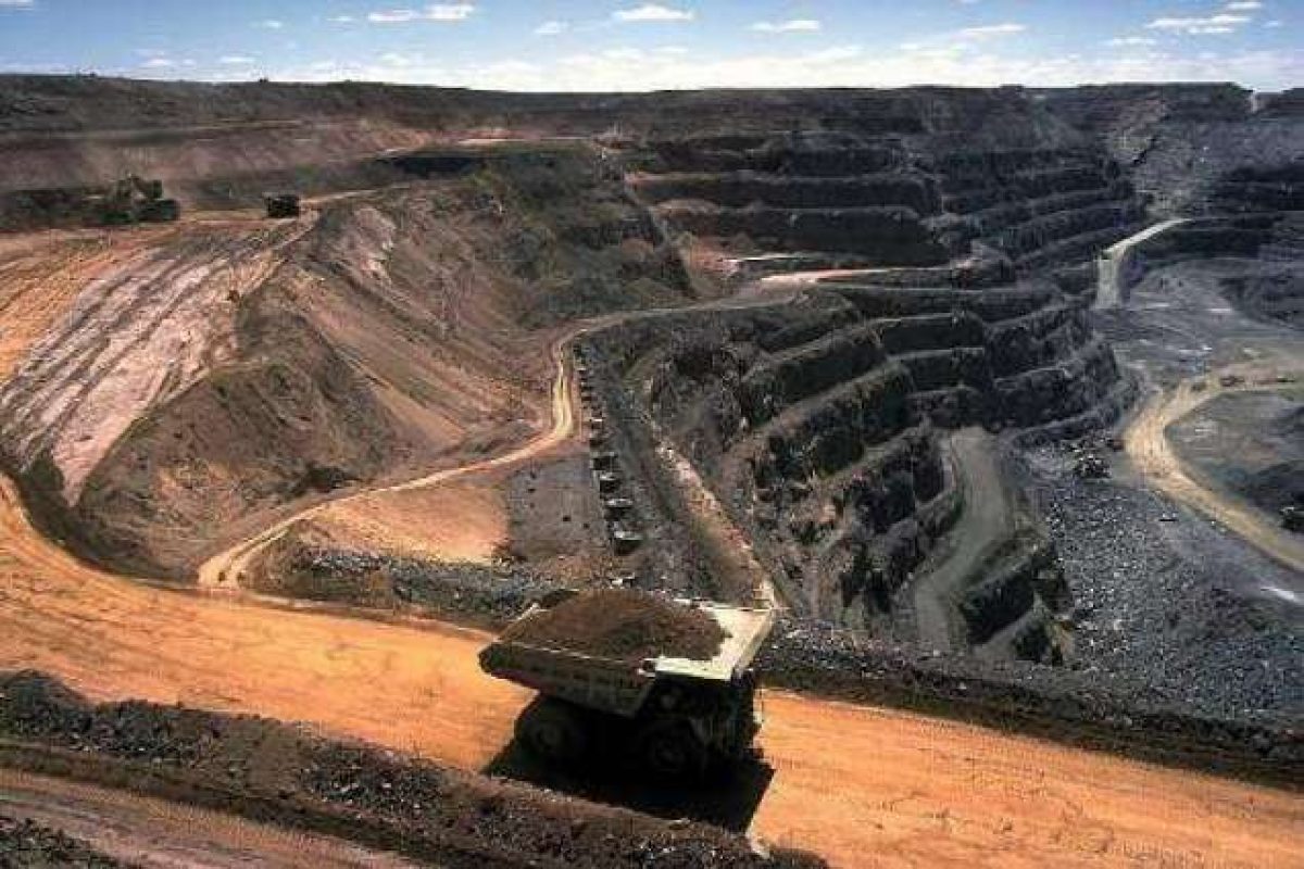

GEOLOGY & MINERAL EXPLORATION
The Geological Survey of Pakistan (GSP) is responsible for the study of the geology of the country in all pertinent details and to assess its geological resource potential…

GEOPHYSICS
Geophysics Division mostly carries out investigations for the minerals and groundwater studies. Sometimes projects are also undertaken as per requirements of the geological Divisions…

DRILLING
The drilling section is responsible for drilling including coring & non-coring mineral exploration projects of the department and outside agencies…
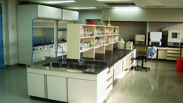
CHEMISTRY
The Chemistry Laboratory is responsible for any type of chemical research and analysis pertaining to rocks, minerals, water and coal samples. It facilitates and provides chemical assessment to the projects conducted by geoscientists of GSP...
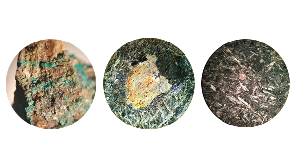
PETROLOGY-MINERALOGY
Petrology-Mineralogy Is responsible for Igneous Metamorphic Petrography, Carbonate Petrography, Clastic Sedimentary Rocks Petrography, Thin Section Preparation and Ore Microscopy…
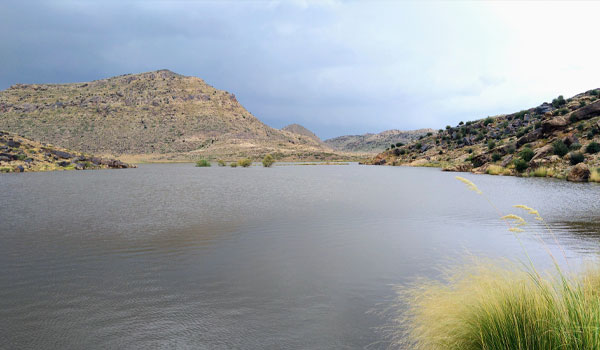
HYDRO-GEOLOGY
Hydrogeology branch is responsible for the Groundwater investigation in the country.

REMOTE SENSING & GIS
A geographic information system (GIS) is a tool for digitizing mapping and analyzing earth events. Remote sensing can characterize and identify earth features using satellite imageries…