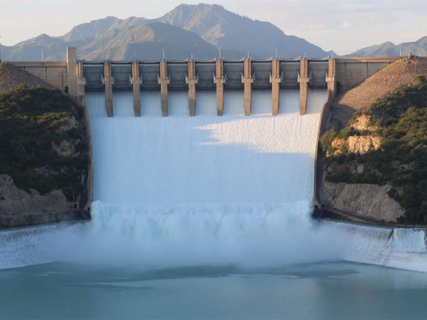
GSP executes PSDP funded projects through development schemes (PC II), in addition to its regular activities. The development activities are undertaken independently as well as in collaboration with other national and international agencies. During the current financial year, GSP is executing the following development projects.
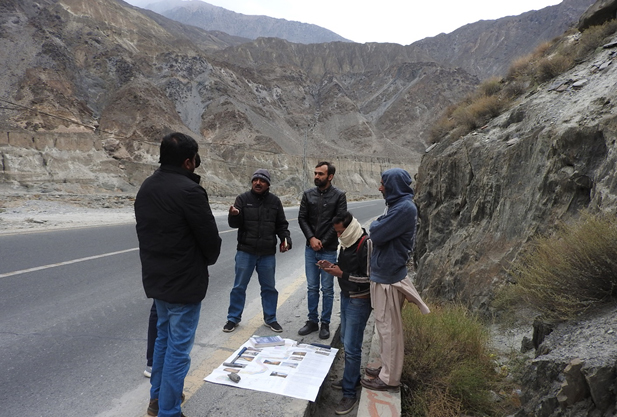
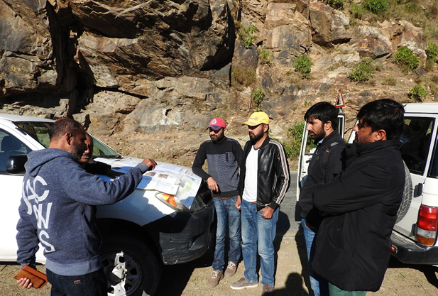
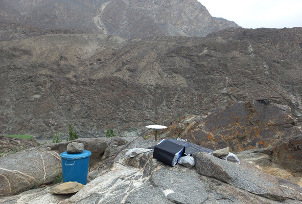
Pakistan National Research Program on Geological Hazards (Earthquakes and Landslides), Data Acquisition along Active Faults and Identification of Potential Landslide Hotspot Zones
The objectives of the project are to identify Earthquakes prone areas on the basis of active faults margins and landslide hotspots; to establish a new network of Globe Navigation Satellite Stations GNSS (Permanent as well as Periodic), and developing a landslide inventory database throughout the country.
The study would prove a major step towards the Disaster Risk Reduction activities in the country. The outcome will lay a solid foundation for a reliable hazard assessment and hazard zonation related to earthquakes and landslides. It will also pave the way for more detailed hazard assessment studies specific to particular areas.
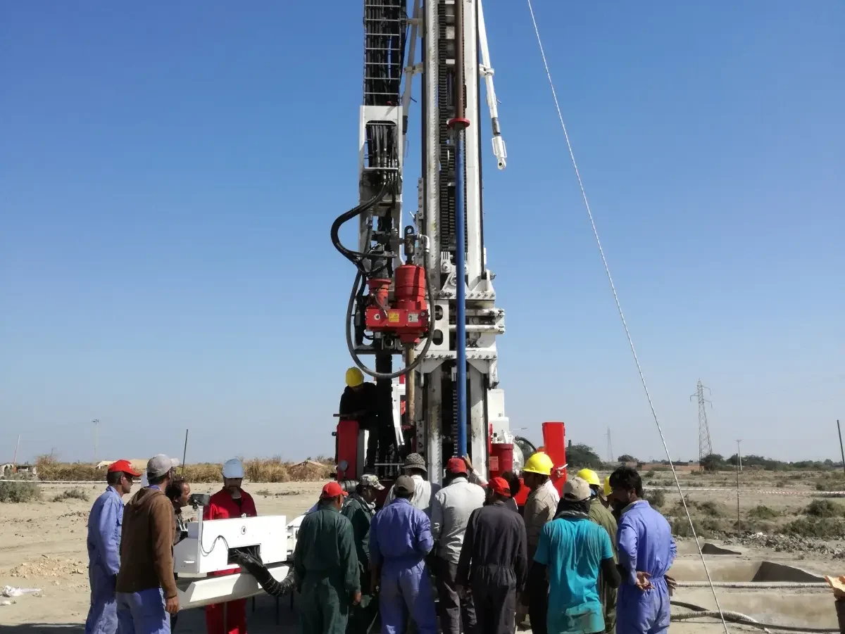
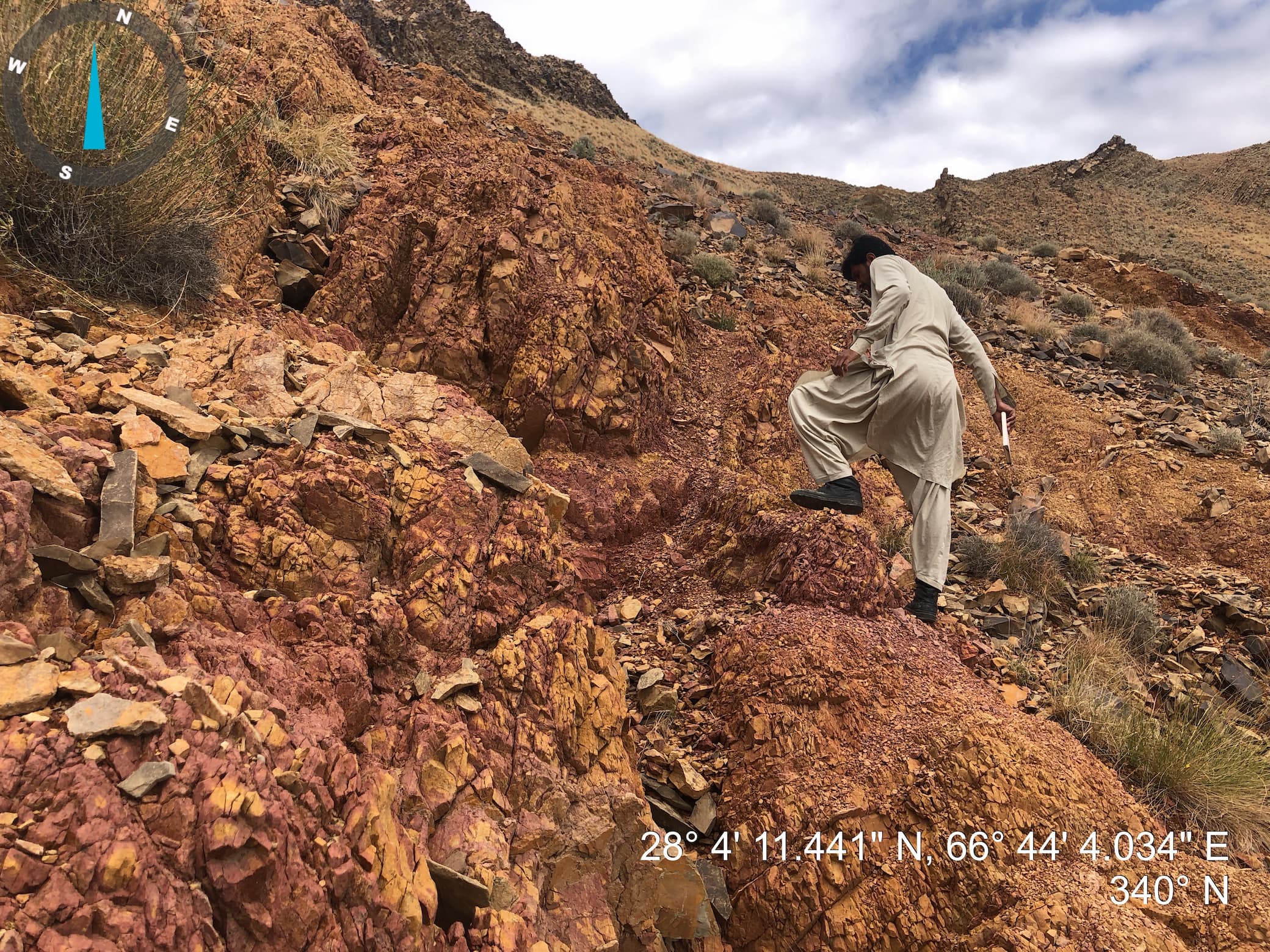
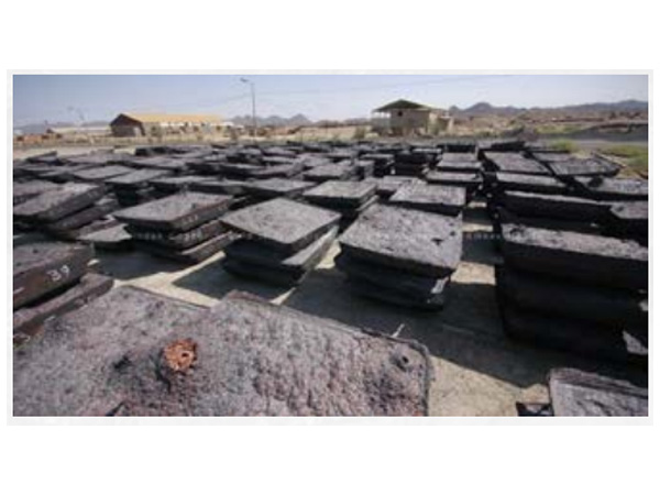
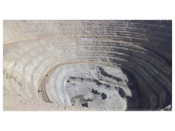
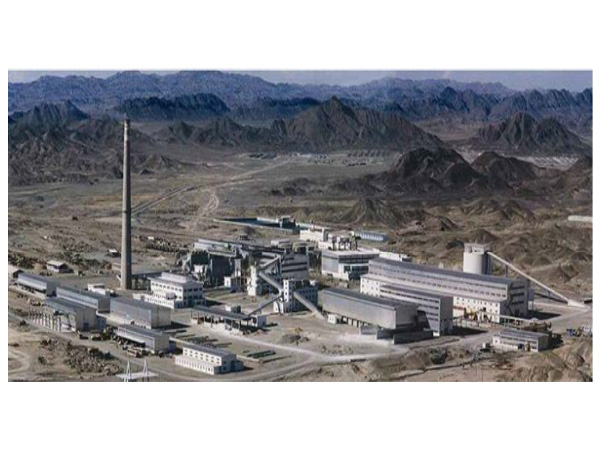
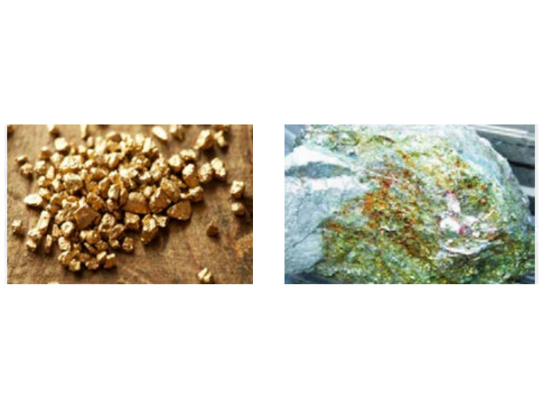
Exploratory Drilling for Coal and Mineral Exploration
This project aims to assess the potential for coal and mineral deposits in targeted areas through systematic drilling activities. This project utilizes advanced drilling techniques and geological analysis to gather subsurface data, providing valuable insights into the composition, quality, and quantity of resources present. By strategically selecting drilling locations based on geological surveys and remote sensing data, the project aims to identify viable sites for future extraction operations.
Through this exploration initiative, the project seeks to contribute to the understanding of regional geology, support resource management decisions, and potentially uncover economically viable coal and mineral deposits for future development. Additionally, environmental considerations are paramount throughout the project to ensure responsible exploration practices and minimize ecological impact.
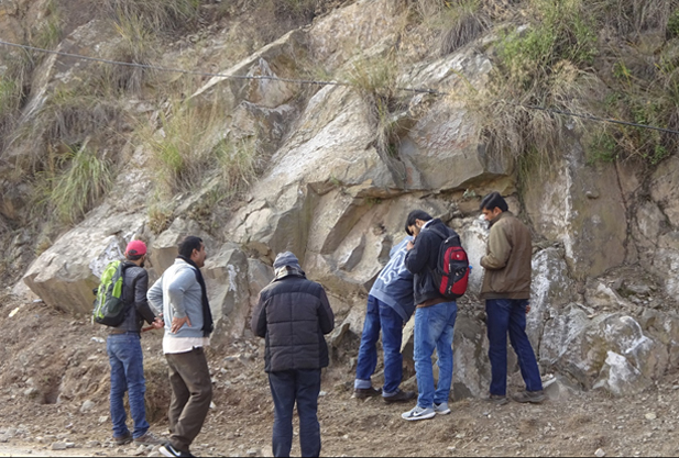
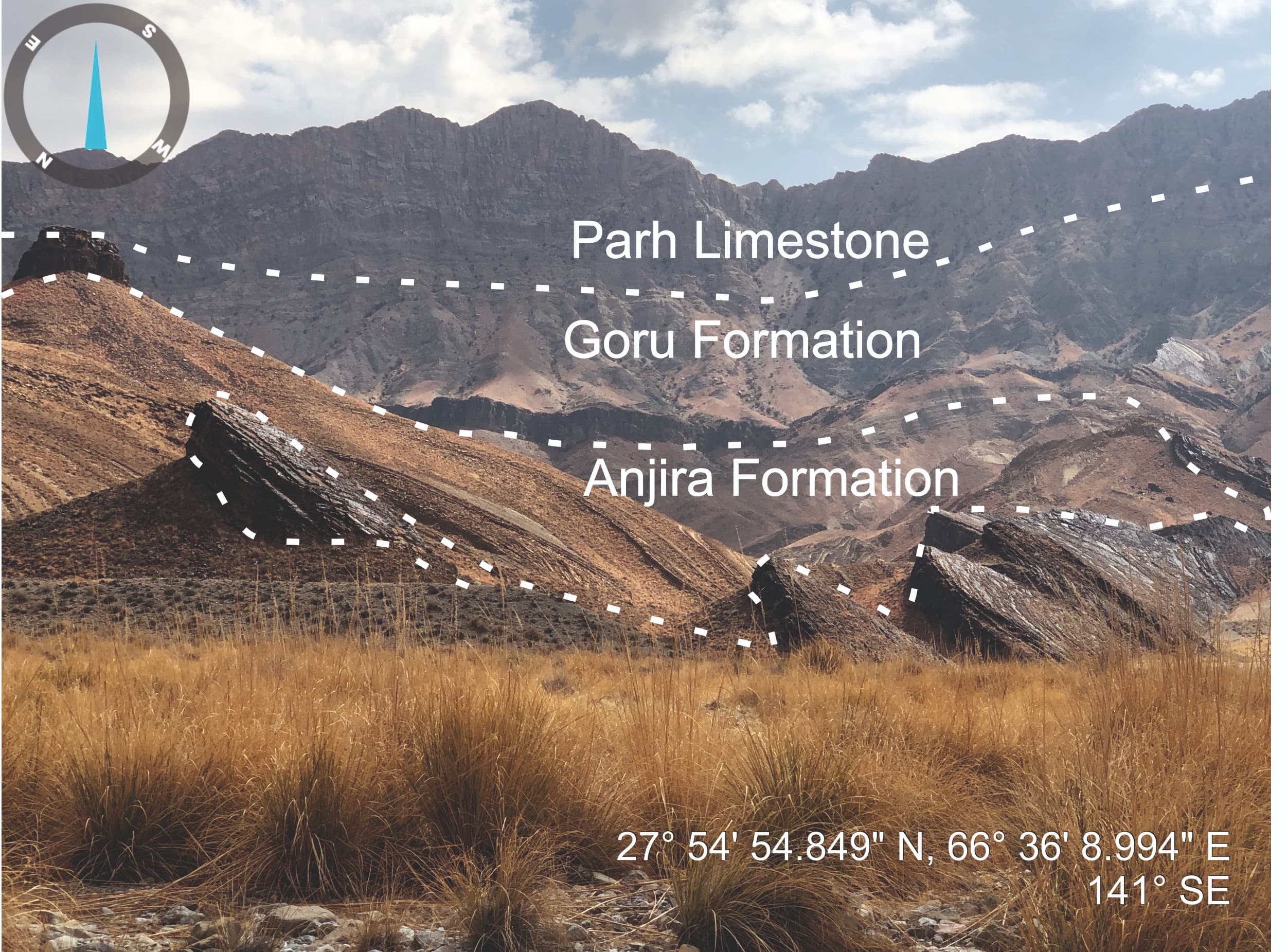
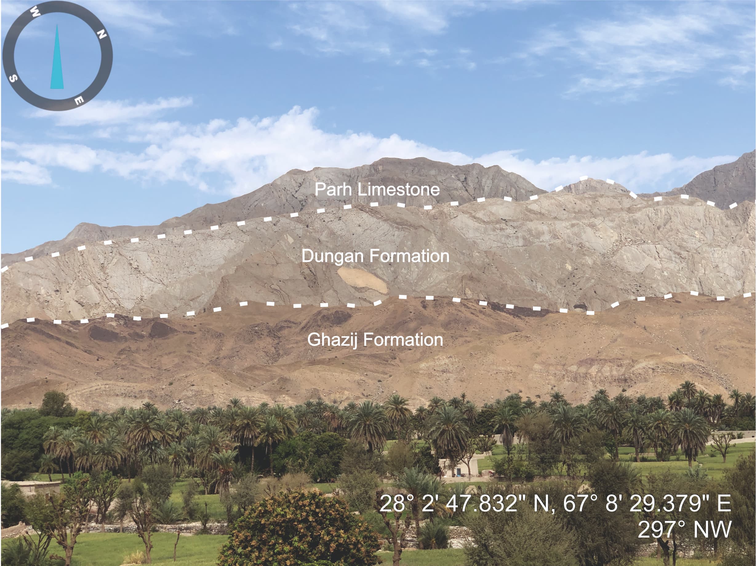
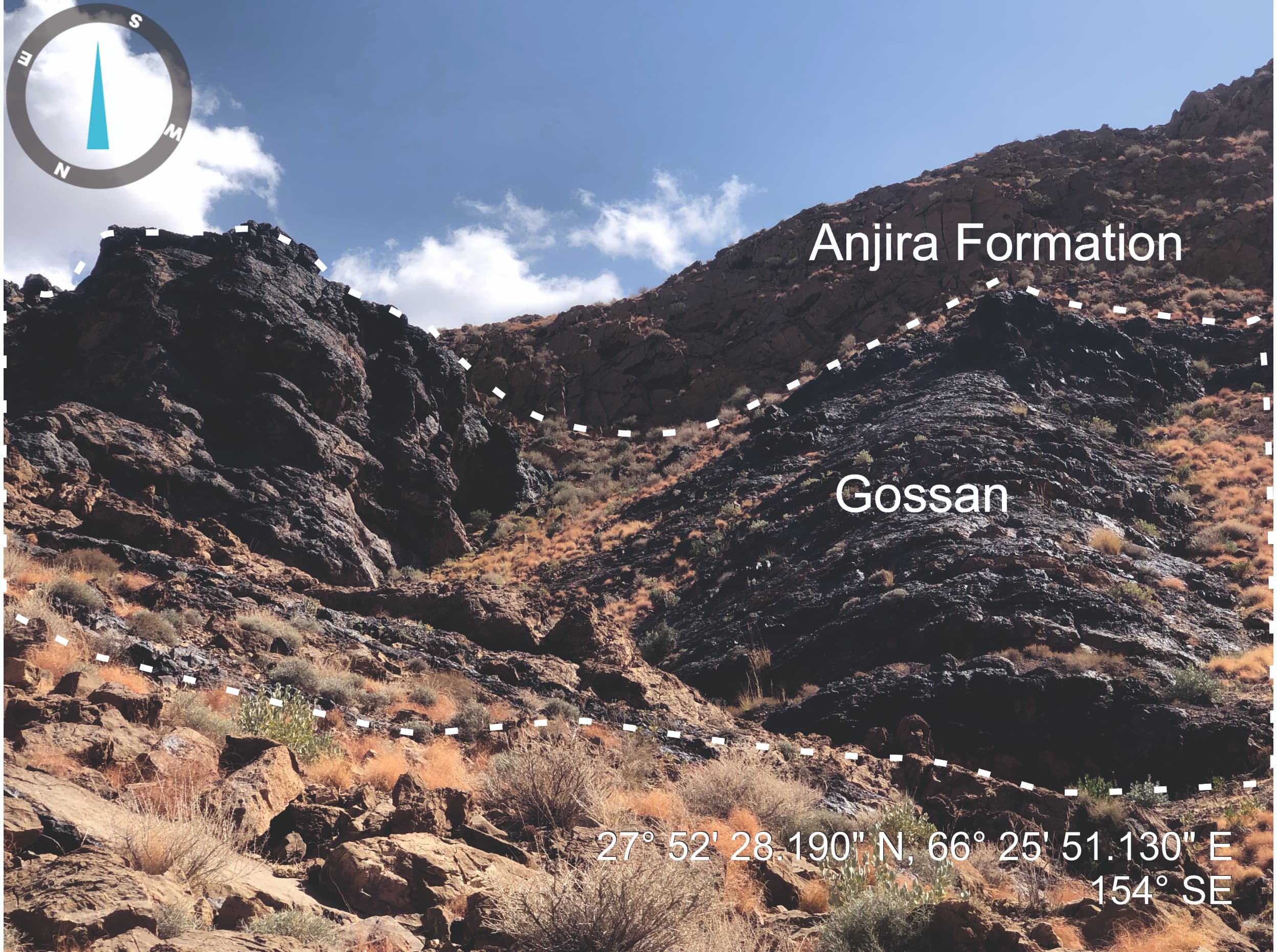
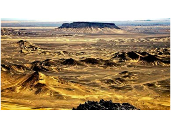
Geological Mapping of 50 Toposheets out of 354 Unmapped Toposheets of Outcrop Area of Balochistan Province
Geologically map the outcrop region in detail on a 1:50,000 scale and keep a database for future investigation of metallic and non-metallic mineral potential, dimension stones, aggregates, and limestone reserves for the industry in Balochistan’s designated prospective areas.
Accelerated Geological Mapping and Mineral Exploration Using Advanced Satellite Image Based Technologies for Unmapped Areas in Pakistan
The Project seeks to fill a critical gap in mineral exploration sector of Pakistan that relates to dearth of reliable Geo- Scientific Data of the country. Geological Maps drawn at the scale of 1:50,000 scale are of fundamental importance for mineral exploration. About 665 toposheets (geographical maps), covering about 2/3rd of the country’s outcrop area is still unmapped.
The Project aims to remove one of the important hurdles in the way of attracting investment in mineral sector by providing comprehensive and accurate geological data, thereby facilitating informed decision-making and increasing investor confidence.
Instrumental Up-gradation of Geo-science Advance Research Laboratories Islamabad to be used In Economic Mineral Exploration
This project will help in boosting the efforts being made to develop the mineral sector. In addition to the in-house scientific investigations, private mineral sector will also be benefited from the facilities acquired through this project. This project will play an important role in Human Resources development and shall offer acquaintance to geoscientists of the country in the latesttechniques in mineral exploration. The main objectives are as under: ● To upgrade outdated instruments which are necessary for mineral exploration. ● To develop GARL into a knowledge-sharing institute for the department and other Government and private stakeholders including research institutes. ● Training for all stakeholders in consonance with the identified objectives.
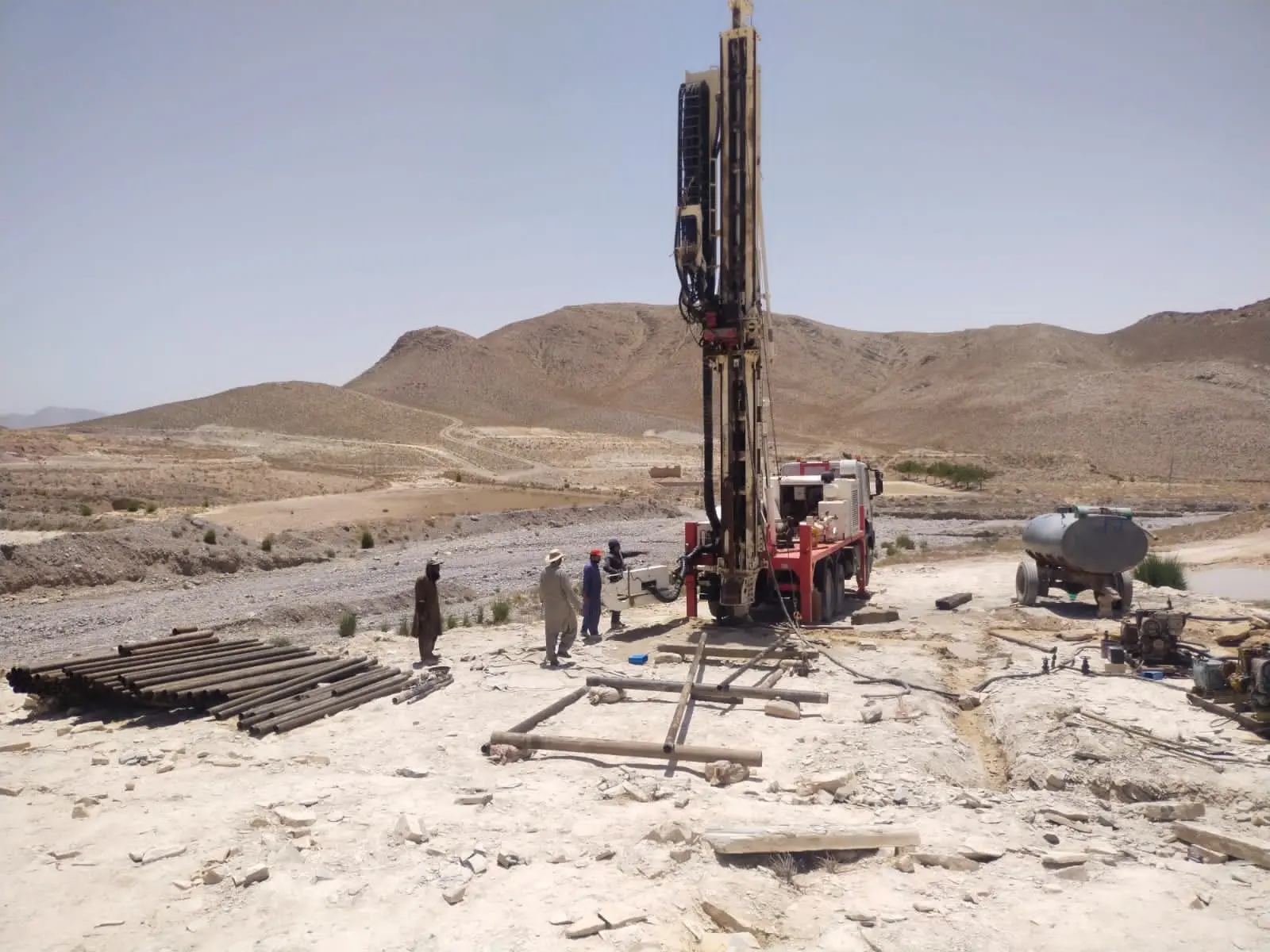
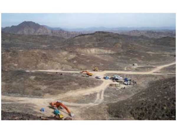
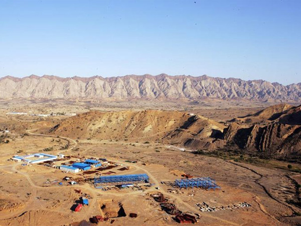
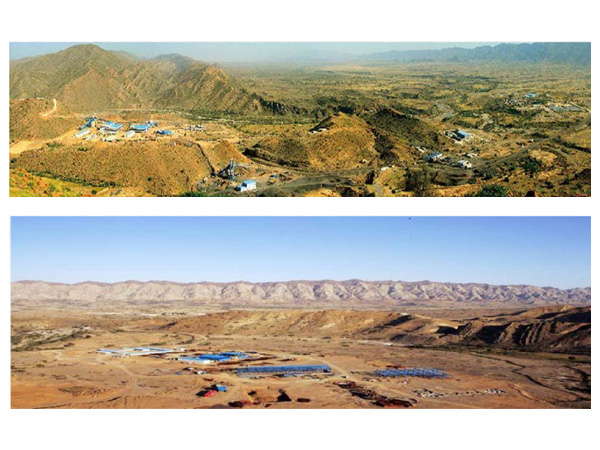
Exploration And Evaluation Of Coal In Nosham And Bahlol Areas, Balochistan
This project is headed by Dr. Anwar Hussain Alizai Director/Project Director.
Scope of Work
To prove the presence of coal, establish its grade and make a preliminary assessment of reserves through large-scale mapping, exploratory drilling, and collection of representative samples for chemical analyses and petrographic studies in Nosham and Bahlol Areas.
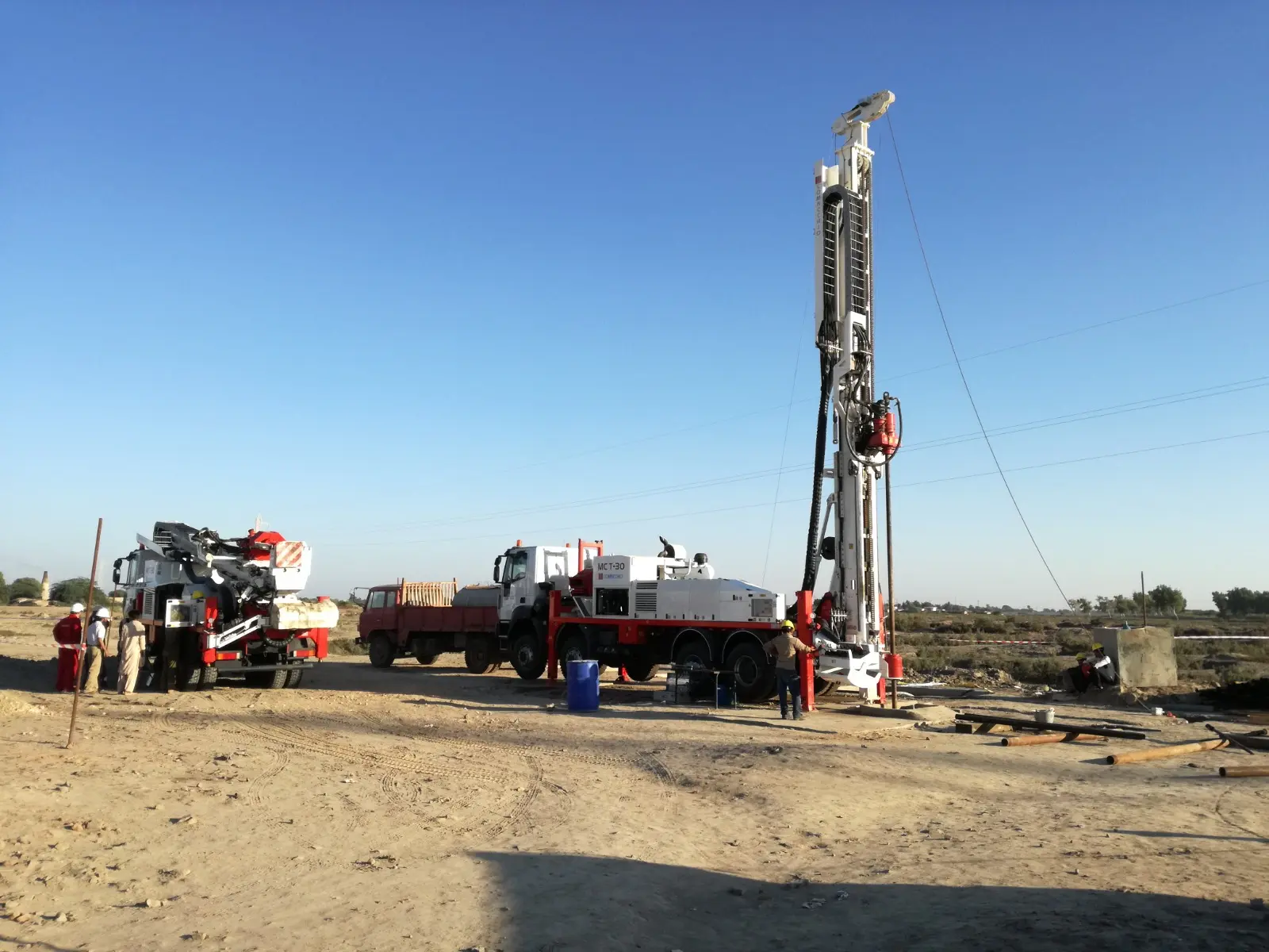
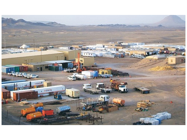
Acquisition Of Four Drilling Rigs With Accessories For The Geological Survey Of Pakistan Quetta, Balochistan
The project is headed by Mr. Abdul Razzaq, Director Drilling.
Personnel
Ali Abbas, Deputy Director Procurement
Raheel Iqbal, Procurement Officer
Scope of Work
The project will help in boosting the efforts of exploration being made to develop the mineral, energy and water sectors, and to accelerate the pace of overall socio-economic development in the country. The projects in the mineral and sectors which involve drilling will be smoothly executed by deploying drilling rigs acquired through this project. Drilling for mineral and ground water exploration and other geo-scientific investigation is a continual process therefore these rigs will be in constant use.
Physical Progress (Major Works Done)
Two, new, 275 HP, Hydraulic, Truck Mounted Multipurpose Drilling Rigs with drilling capacities of 1300-2000 meters HQ and 2000-3000 meters NQ, with accessories and spare parts of rigs and trucks have been purchased from Italy on FOB basis. Rigs with accessories have been received in GSP, Headquarters Quetta on 10.09.2016.
Review of specification of latest drilling rigs available in international market.
Preparation of technical specification and tenders of remaining two drilling rigs and accessories.
Advertisement of tender in print and electronic media.
Constitution of Technical and Purchase Committees.
NAB has also been informed about the procurement and tender.
Last date of tender submission is 7th February 2018.
Geological Mapping of 50 Toposheets Out of 354 Unmapped Toposheets of Outcrop Area of Balochistan Province. (New approved project 2020-21)
The project is headed by Mr. Khawar Sohail, Director (Pet-min).
Scope of Work
To Geologically map the outcrop area in detail on a 1:50,000 scale and to maintain a database for future exploration of the occurrences of metallic and non-metallic mineral potential, dimension stones, aggregates, and limestone reserves for the industry in targeted potential areas of Balochistan.
Provision of Equipments For Mineral Research Laboratories at Geological Survey of Pakistan, Regional Office Peshawar (New approved project 2020-21)
Scope of Work
The project is focused on the establishment of modern and well equipped laboratories like petrographic/gemology, geochemical, petrology and mineralogy to ensure fast track and accurate research outcomes.
Previously Completed Development Projects
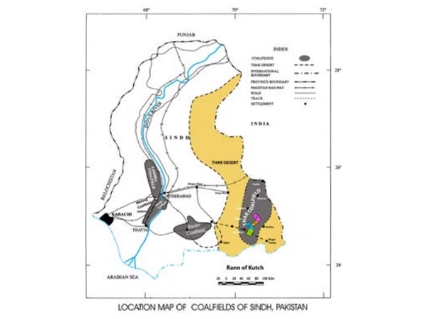
Badin Coal Project
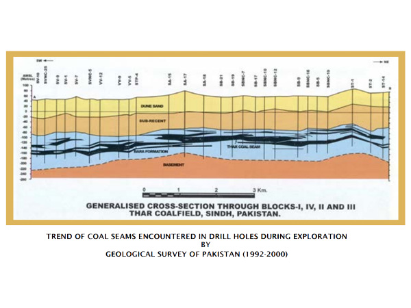
Badin Coal Project was prepared and executed with the aim to discover the coal resources under alluvium cover in Badin and surrounding areas through drilling activities. Uptill now fifteen boreholes with a cumulative depth of 5719.91 meters, have been drilled in Pingrio, Jhuddo, Tando Bagho, Nando Town, Badin bypass, Mori Village, west of Pingrio, Saman Sarkar, south of Pingrio, Pingrio Sugar Mills, village Chak Baloch, Chutto Khan Kaloi, Tando Bago to Nando Road and Pingrio city areas in districts Badin and Mirpurkhas, covering an area of approximately 2500 sq. km. Coal seams encountered in all boreholes at various depth levels. The thickness of coal seams ranging from 2.30 meters as thickest to 0.17 meters as thinnest coal seam. A total of 78 coal seams have been encountered with a cumulative thickness of 52.01 meters. One sample from each seam has been taken for chemical analysis. Proximate chemical analyses of 78 collected coal samples have been completed through GSP chemical laboratory, Karachi office. The chemical analyses show the quality of coal is lignite, comparable with Thar coal quality. Generally, the coal is encountered beyond 270 meters depth in the Bara Formation of Paleocene age. Report appraisal documents for the compilation of technical report writing based on work done to date are in progress.
Through drilling activity, 2,500 sq. km unexplored area has been explored and the presence of coal in Badin and adjoining areas was confirmed. The explored block has been assessed to contain 33.893 million tons proved, 305.082 million tons indicated and 4219.498 million tons inferred coal reserves. This project will enhance the coal resources of Pakistan in general as well as Badin block in particular and in the future these resources could have an appreciable share in the much-needed energy mix of the country.